3 Day Hiking in Southwest Virginia Itinerary
UPDATED 5/28/23
If you like to explore the outdoors with amazing trails, wildlife and scenic views, you need to make Southwest Virginia hiking your next solo vacation. Using my 3 day hiking in Southwest Virginia itinerary and Roanoke travel guide will show you how to do the best Virginia 3 day hiking trails in a long weekend.
Like this? Share it with others!
This post may contain affiliate links for your convenience. For products, the goal is to first provide direct links to eco-friendly, ethical, and sustainable companies, and then to those same type (i.e., Climate Pledge Friendly Certification), of brands that use Amazon, if possible. Therefore, you may see multiple links for one option. Should you make a purchase through any link, I will receive a small commission at no additional cost to you. See my Disclaimers & Disclosures and Privacy Policy for more information.
All You Need for 3 Days in SW Virginia
Here are all of the sites you need to successfully book this perfect hiking in Virginia trip. I even give you my Roanoke hotel pick as a sustainable option in a great location for a long weekend in southwest Virginia as a solo traveler.
I recommend you bookmark and use these sites early to lock in your 3 day hiking itinerary and get the best Virginia travel deals.
The Ultimate Virginia Solo Travel Guide
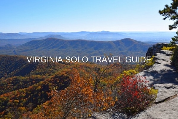
In addition to this Southwest Virginia hiking itinerary, don’t forget to use my Virginia Solo Travel Guide. It is a helpful one-stop-shop guide to plan first time travel to Virginia with:
- Popular Virginia Activities
- Best Time to Visit Virginia
- City Travel Guides
- Booking Virginia Travel Resources
- Budget Travel Tips
- Virginia Eco Travel Ideas
If you’re a first-time traveler the USA, also use my amazing USA Solo Travel Guide full of tips on culture, travel requirements, tipping, holidays, links to state travel guide, and more.
Virginia is for Hikers
The southern end of the Shenandoah Valley has plentiful hiking trails within the old Virginia mountains, the most famous being The Appalachian Trail, which extends 2,200 miles (3,500 km) from Georgia to Maine. If you would like to enjoy just a piece of this trail, and others, then Southwest Virginia is the place to be.
Yes, Virginia is for hikers. Definitely.
More USA Travel Tips & Ideas
- How to Spend a Long Weekend in Alaska Solo
- Planning a USA Solo Road Trip – Expert Tips
- Amazing 4 Days in Maui Solo
- How to Tour the Hoover Dam
- Best of New York City in 4 Days
- Top San Francisco Sights in 1 Day On Foot
- US States Travel Guides
Where to Stay in Southwest Virginia
Nestled in the Blue Ridge Mountains, Roanoke, Virginia is rapidly becoming known as Southwest Virginia’s playground for outdoor enthusiasts. The “Star City of the South”, Roanoke is ideally situated to cater to those who enjoy kayaking, canoeing, biking, hiking, camping and more.
Within minutes of any of the several hiking trailheads in the area, Roanoke boasts a historic farmer’s market, Center in the Square, Taubman Museum of Art, The Virginia Transportation Museum, the O. Winston Link Museum, great restaurants, local breweries like Big Lick Brewery (tell them Gwen from CORR Travel sent you), and other top things to do.
Roanoke should definitely be your “home base” for an inexpensive and breathtaking hiking vacation.

Where to Stay in Roanoke
For ease of enjoying Roanoke’s offerings mentioned earlier before and after your hiking, you’ll want to stay in downtown Roanoke.
Right in the heart of downtown is the Downtown Roanoke Hampton Inn & Suites, which is a member of the Hilton’s LightStay sustainability program, and my top recommendation of where to stay in Roanoke. Another ideal option is classic Hotel Roanoke.
Downtown Roanoke is considered a safe place to walk around, even at night.
If you need to stay closer to the Roanoke Airport, my recommendation would be to stay at the Comfort Inn Roanoke Airport, a Sustainable Travel rated hotel.
Eco-Travel Tips
Take your bike on Amtrak and ride the train to downtown Roanoke to avoid driving as much as possible.
Staying in downtown Roanoke allows for walking and bicycling to multiple locations, not just downtown Roanoke. Ride your bike on the greenway paths to explore outside the downtown area.
Rent a car in Roanoke only to access the top hiking trails in this itinerary. If you’re really fit, you could ride your bike to the trailheads.
More Eco-Travel Tips & Ideas
- 25 Must-Have & Eco-Friendly Solo Beach Trip Essentials
- How to Marine Conservation Volunteer in Belize
- 15 Eco Long-haul Flight Essentials for Solo Travel
- Top 10 Eco-Friendly Carry On Luggage
- 10 Best Eco-Friendly Personal Item Bags for Flying
- 10 Amazing Eco-Friendly and Sustainable Swimwear Brands
- 10 Easy Ways to Be an Eco-Friendly Traveler
- 15 Eco Friendly Products for All Travel
Getting to Roanoke
Roanoke is right off the I-81 if you’re driving into town.
However, Roanoke is also serviced by the Roanoke-Blacksburg Regional Airport, which should have been made a national airport in the ’90’s, but anyway…
So, you don’t have to fly into Charlotte, NC or other locations 2 to 3 hours away to get to epic Southwest Virginia hiking trails. The Roanoke Airport services most major U.S. airlines so you can actually score some cheap flights to Roanoke if you plan ahead.
Finally, as of 2017, Amtrak trains stop in downtown Roanoke, making staying downtown very convenient for parking the car and walking everywhere to enjoy downtown Roanoke.

When Best to Hike Virginia
Without a doubt, the spring and fall are the best times to visit Virginia, as I mention in my Virginia travel guide, not just for being the least expensive times to visit but to also take advantage of the season change temperatures and colorful fauna and foliage.
Autumn is my favorite time in Virginia as the plethora of leaf colors against blue skies brighten up the mountains in which few other states can compare. Personally, I would choose hiking Virginia in late September or early October (hint, hint).
Don’t forget to bring your compact, digital camera. You’re not going to want to miss taking the best possible pictures.
Solo Hiking Tips
- Always tell somewhere you’re going, when you’re leaving and your estimated time of return
- Familiarize yourself with your hiking trail in advance
- Time yourself on major points on the hiking trail and avoid going off trail, if possible
- Bring a paper map in addition to using GPS
- Wear comfortable hiking shoes or boots, dress in layers, and bring a hat or visor
- Bring food and water
- Don’t forget bring the following Solo Hiking Essentials
Virginia Solo Hiking Packing Essentials
3 Day Southwest Virginia Hiking Itinerary
If you’re looking for hiking in Southwest Virginia offering fabulous scenic views along the Appalachian Trail, then you’ve found it in the “Triple Crown”: McAfee Knob, Dragon’s Tooth and Tinker Cliffs.
Not only 3 day hiking trails, many consider these the best hiking in Southwest Virginia.
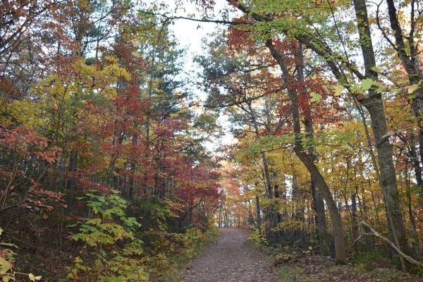
Day 1 – McAfee Knob
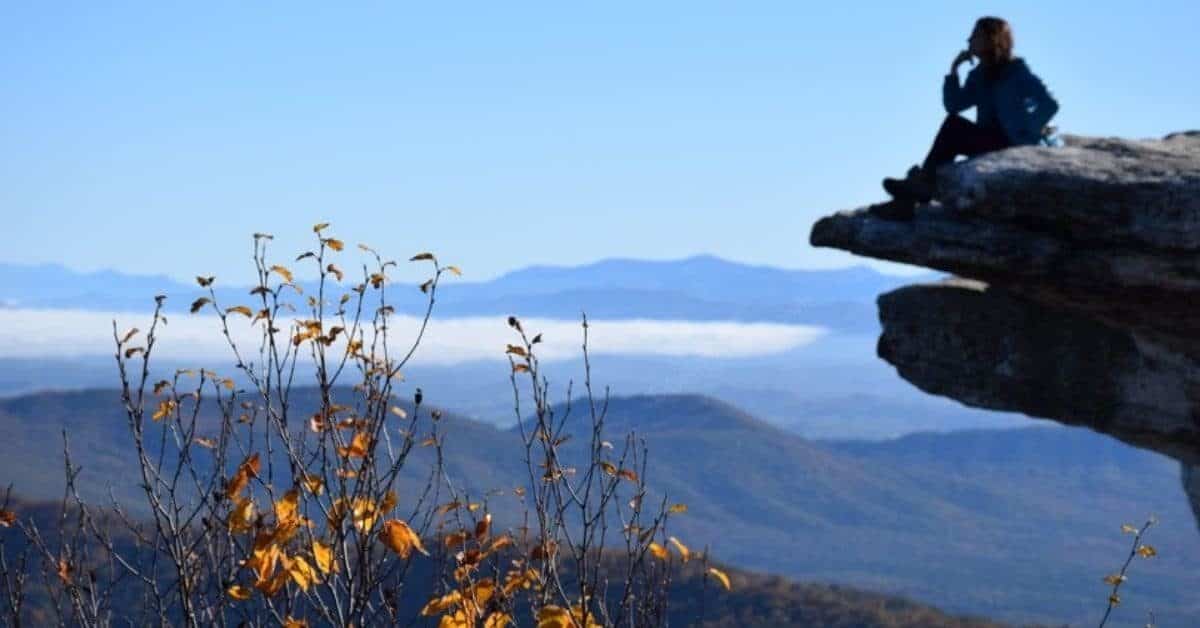
Along the Appalachian Trail, McAfee Knob is the jewel hiking experience for scenic views. Just a 20-minute drive from downtown Roanoke, this hike can be done in a half day (4 to 6 hours) or a full day, depending on how leisurely you wish to hike. However, if this is your first trip to Southwest, Virginia, I recommend allowing for a full day and bring a lunch.
- Where: Catawba, Virginia
- Coordinates / Map: 37.3929° N, 80.0367° W
- Elevation: 3,197 feet
- How long: 8.8 miles round trip
- Difficulty: 4/5 stars
- When to go: Limited parking is available at the trailhead so go early in the morning. Click here more information on McAfee Knob hiking.
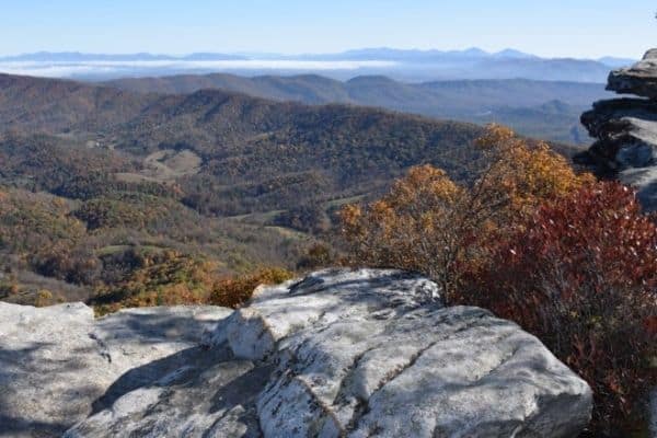
Day 2 – Dragon’s Tooth
For a second full day of hiking, take in more views on the Dragon’s Tooth trail. Just four miles up Route 311 past the McAfee Knob trailhead is the Dragon’s Tooth trailhead and departure point to more breathtaking, Blue Ridge Mountain scenery.
- Where: Catawba, Virginia
- Coordinates / Map: 37.3695755° N, -80.1597674° W
- Elevation: 2,228 feet
- How long: 5.7 miles round trip
- When to go: Limited parking is available on Route 311 just past the Catawba Grocery. Click here more information on Dragon’s Tooth.
Day 3 – Tinker Cliffs
For your third day of hiking, Tinker Cliffs on Tinker Mountain, Troutville – a thirty-minute drive from downtown Roanoke – is sure to please in foliage, rock formations, and scenic views.
- Where: Troutville, Virginia
- Coordinates / Map: 37.425485° N, -79.944127° W
- Elevation: 3,000 feet
- How long: 7.7 miles round trip
- When to go: Limited parking is available at the trailhead so go early in the morning. Click here more information on Tinker Cliffs hiking.
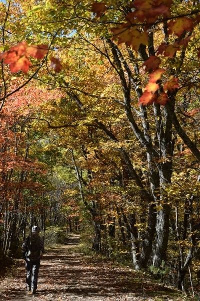
If you liked the Southwest Virginia hiking scenery from the above three trails and want a similar experience close by, try Blowing Rock, North Carolina on your next hiking vacation. Just a 3-hour drive southwest of Roanoke, you’ll sure to enjoy what amazing landscape Blowing Rock has to offer, not to mention its amazing, hometown dining.
More Virginia Outdoor Opportunities
If the more difficult level hiking is not your thing, don’t worry because the Roanoke region has more incredible opportunities to enjoy the outdoors.
Carvins Cove
Again, just minutes north of Roanoke, Carvins Cove is another local favorite hotspot for hiking and biking trails, boating and horseback riding. This natural reserve has three parking lot entrances – the Boat Dock, Bennett Springs, and Timberview – depending on what you wish to do.
One-day parking passes can be purchased at the local kiosks with cash or check. For an easy, leisurely stroll, try the Tinker Creek Greenway-Hollins Trailhead that winds partly around the southern side of the 630-acre reservoir.
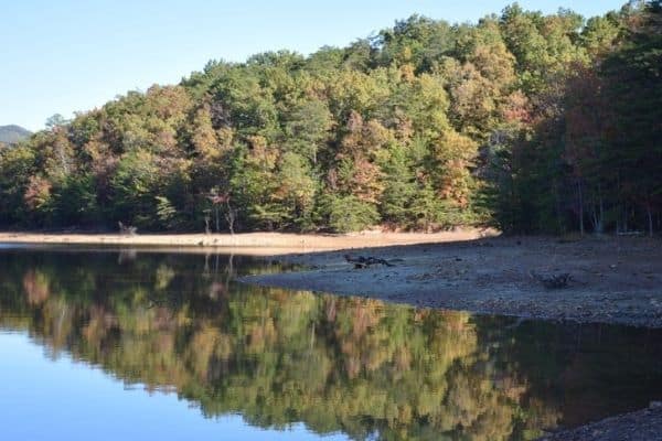
Roanoke Greenways
Enjoying your stay in Roanoke and wish to see more of it? The Roanoke Greenways has 30-miles of greenway paths that can take you all around the city via foot or bike.
There are family-friendly picnicking and playground spots dotted throughout. For those into more physical fitness, try the work-out equipment along the paths.
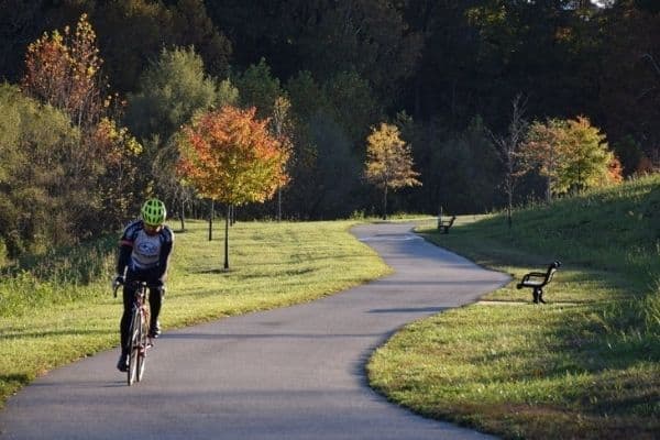
From downtown Roanoke, try the Roanoke River, Mill Mountain and Tinker Creek Greenway that keeps the Roanoke Star on Mill Mountain always in sight and the Roanoke River a constant companion from Wasena Park to the base of Mill Mountain and beyond.
Get off the path near Memorial Boulevard and ride a few minutes to Roanoke’s historic Grandin Village, blessed with some great shops, restaurants, and, of course, the Grandin Theater. Grandin Village is the best area of Roanoke, in my humble opinion.

If you’re feeling up to it, go off the same path to hike or bike to the top of Mill Mountain and catch a view of the Roanoke Valley, a must when in Roanoke.
Mill Mountain / Blue Ridge Parkway
Don’t want to hike or bike up to Mill Mountain? You can always drive. The Roanoke Star is Roanoke’s landmark locals proudly point visitors to. Besides the stunning view of the Roanoke Valley, Mill Mountain also hosts the popular Mill Mountain Zoo.

If you wish to explore more of the region, keep driving down the Blue Ridge Parkway for more fantastic, mountain scenery. The parkway goes for almost 500 miles, from the Shenandoah National Park in Afton, Virginia to the Great Smoky Mountains National Park in Cherokee, North Carolina so how far you go is up to you.
Remember Blowing Rock, North Carolina? The Blue Ridge Parkway goes right by it.
Let Me Hear From You
I would love to hear if this 3 day hiking Southwest Virginia itinerary was helpful to you. Post me your thoughts or questions in the Comments section below. Thank you!

